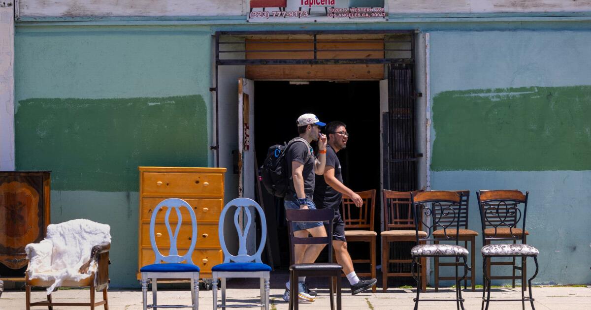
We walked every step of Los Angeles’ longest continuous street, and we needed every minute of daylight to do it.
At 7:30 a.m. on April 28, 14 friends and I set out from the Fern Dell Western Stairs beneath Griffith Park to walk Western Avenue, all 28-plus miles of it. Twelve hours later, we reached its southern end, overlooking the ocean from San Pedro’s White Point Park. As the sun set on our outlandish odyssey, we deliriously descended down the bluff to the Pacific.
Western Avenue transitions into Paseo Del Mar near White Point and the Pacific Ocean.
We took more than 60,000 steps. We toured five cities, numerous neighborhoods and a couple of unincorporated communities. We passed establishments and vendors offering the cuisines of Armenia, Belize and countless other countries. We overheard so many religious services. To walk Western was to forcefully remember how disparate and disconnected our city can feel, even on one straight line. All this life exists on the same street?
This was our third annual attempt to trek the length of a Los Angeles thoroughfare on foot. In February 2022, we walked all 16 miles of Wilshire Boulevard. In March 2023, we scaled all 25 miles of Sunset Boulevard.
All three end at the coast, but we knew Western would present a distinct challenge and setting. We had collectively spent far more time day-to-day traversing the more famous boulevards. Western represents unheralded parts of Los Angeles that make this city what it is. It’s fitting that its final 10 miles bear the moniker of State Route 213, our original area code.
Western also cuts a refreshingly coherent course toward the ocean, as you probably know if you’ve been to the Griffith Observatory and let your eyes follow the straight line in your sightline. Sunset zigs and zags across the city. Western doesn’t veer one iota from a 180-degree angle until its fourth and final freeway crossing, with the 405, more than 17 miles from the northern terminus. It doesn’t meaningfully bend until it crosses the Pacific Coast Highway in Lomita, some 22 miles in.
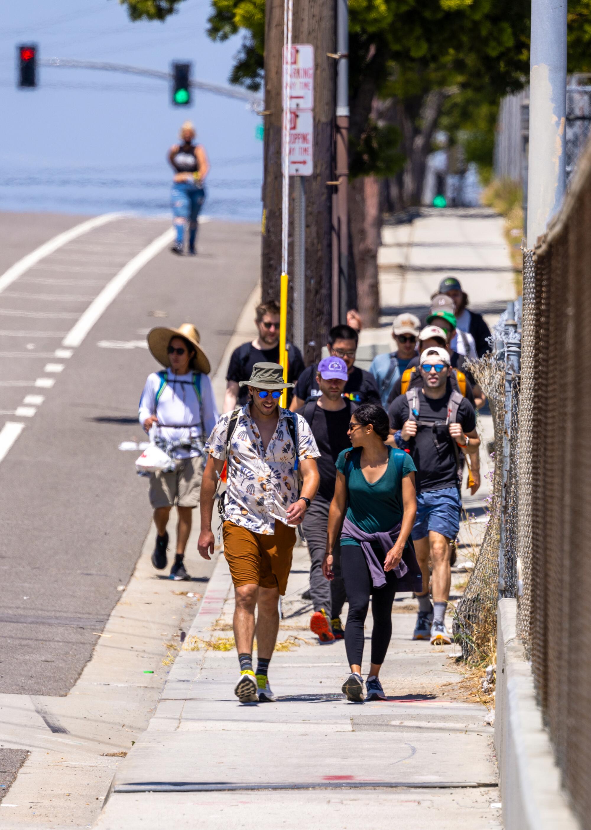
A group of friends cross the 105 Freeway during their end-to-end walk along Western Avenue.
Precise measurements of our city’s longest streets are confusingly hard to find, maybe because our city is so confusingly defined. Like all of the contenders, Western juts in and out of Los Angeles city limits as it passes through Gardena, Torrance, Lomita and Rancho Palos Verdes.
Official lists tend to include only the parts of our streets within city limits. But maps reliably show that Western extends at least 28 miles without interruption. Since Sepulveda Boulevard splits off into four sections, that is at least two miles longer than any other stretch of street across the Los Angeles Basin. (It’s a mile longer than Chicago’s longest continuous road, also named Western Avenue.)
Western tested our limits. Perhaps it proved them. Counting bathroom breaks, side quests and switching sides of the street in search of shade, we surpassed 30 miles on the day. We scheduled this in late April primarily for daylight’s sake. Doing it any later would risk hotter temperatures. Doing it any earlier, at least this year, would have risked rain. We could’ve started a little earlier in the day. We could’ve planned to walk in darkness. Or we could’ve picked a different street.
But, boy, pushing ourselves this time was thrilling. A half-hour in, we chatted with a bus driver who was heading southbound on Metro route 207. He inquired about our destination. When we told him, he asked if we wanted a ride.
“I see you’re hanging in there,” he said two hours later, when he spotted us as he headed northbound.
We received a number of queries about our origin and destination. My favorite such sequence came after meeting a man walking outside Think Prime Steak House in Rancho Palos Verdes. I told him we had started in Los Feliz. He asked where that was. I said it was near Griffith Park. It wasn’t evident he recognized that, either.
To be fair, we were more than 25 miles from there, over an hour‘s drive with typical traffic. And no one can know all, or even most, of Los Angeles.
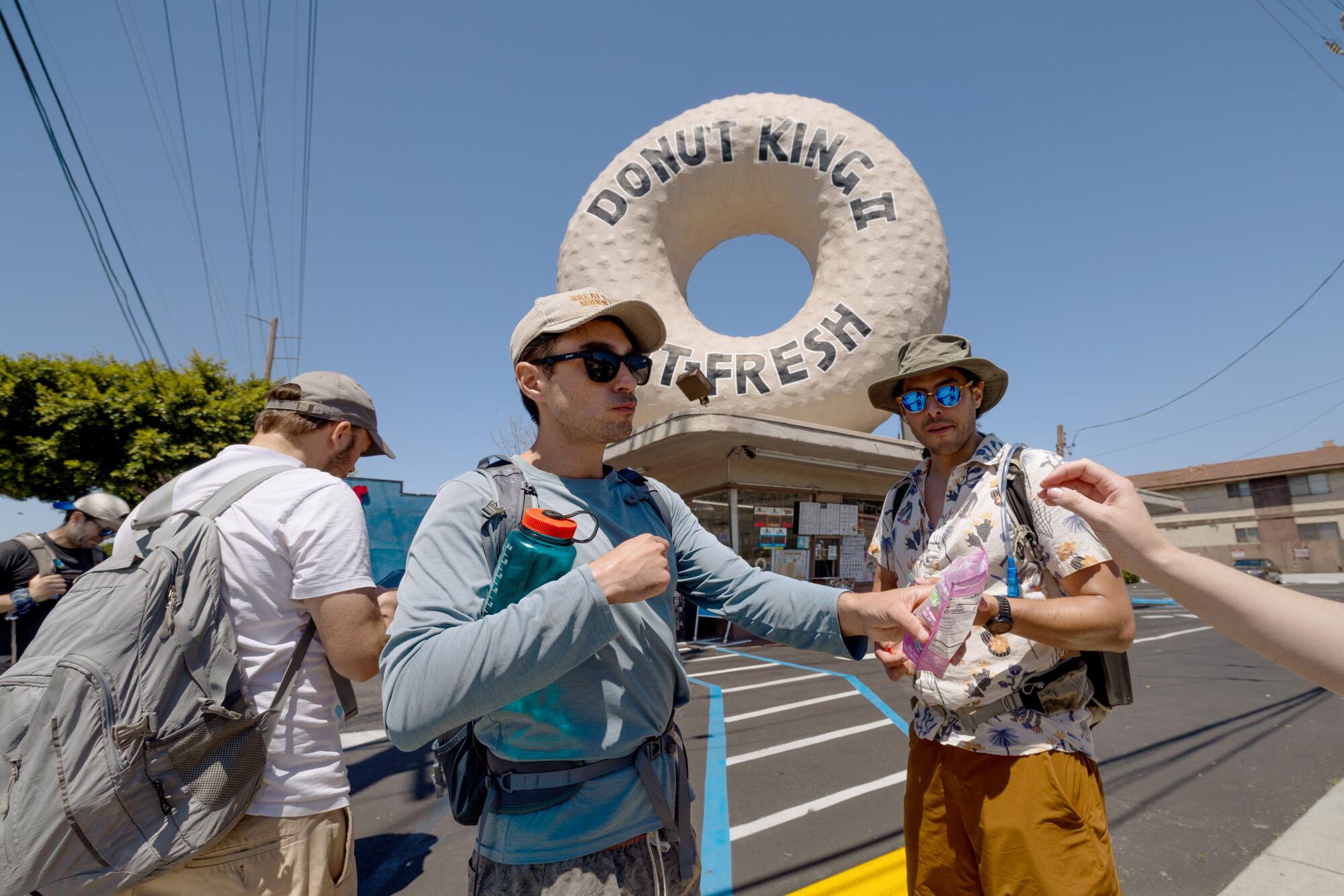
Pedro Moura, center, passes out snacks while the walking group pauses in front of Donut King in Gardena.
(Brian van der Brug / Los Angeles Times)
That Sunday, it seems safe to say we learned a little more, especially about our food. In Koreatown, we walked by El Cholo Cafe, the 100-year-old restaurant often incorrectly credited with introducing both the burrito and nachos to America, though it claims neither. In South L.A., we devoured an array of offerings from Dulan’s, the soul food specialists. In Gardena, we sampled Sakura-ya’s satisfyingly soft mochi, made there the same way for 64 years. And a couple of miles later, we stopped for sustenance at Monkish, maybe our region’s best brewery.
Somehow, we walked by two of the two dozen Marie Callender’s still standing and at least one defunct location, along with so much standout signage, including the Snooty Fox Motor Inn and, across the street, its competitor the Mustang Motel. And we witnessed plenty of classic California Crazy and programmatic architecture, including a KFC shaped like a bucket of fried chicken and one of our many massive donuts.
We also walked where we weren’t wanted. Like on Sunset and in so many other areas, the sidewalks vanished when we reached the wealthiest enclave — in San Pedro, between 9th and 19th streets, where the median income is 246% greater than the norm, according to 2023 census data.
The wiser among us skirted that segment and strolled through a pleasant detour on Weymouth Avenue. The purists, myself included, bushwhacked a bit on both sides before opting for the median. That worked well enough until the median shrunk to a few feet in width. Wordlessly, we settled into single file as cars zoomed past with us arm’s length from their side mirrors. One driver did slow down to exclaim that he had seen us at Monkish. That was nice.
The water, and the prodigious Port of L.A., first came into view around then, due east. In our city, east and west are the more prominent cardinal directions, for whatever reason. People endlessly debate the dividing line: the 405? La Cienega? La Brea? The L.A. River? Downtown?
There’s no such north-south paradigm, even though Los Angeles’ boundaries are 50% larger that way than east-west. Perhaps we forget sometimes that driving, or walking, south can lead to the ocean too. And on a street named Western, no less.
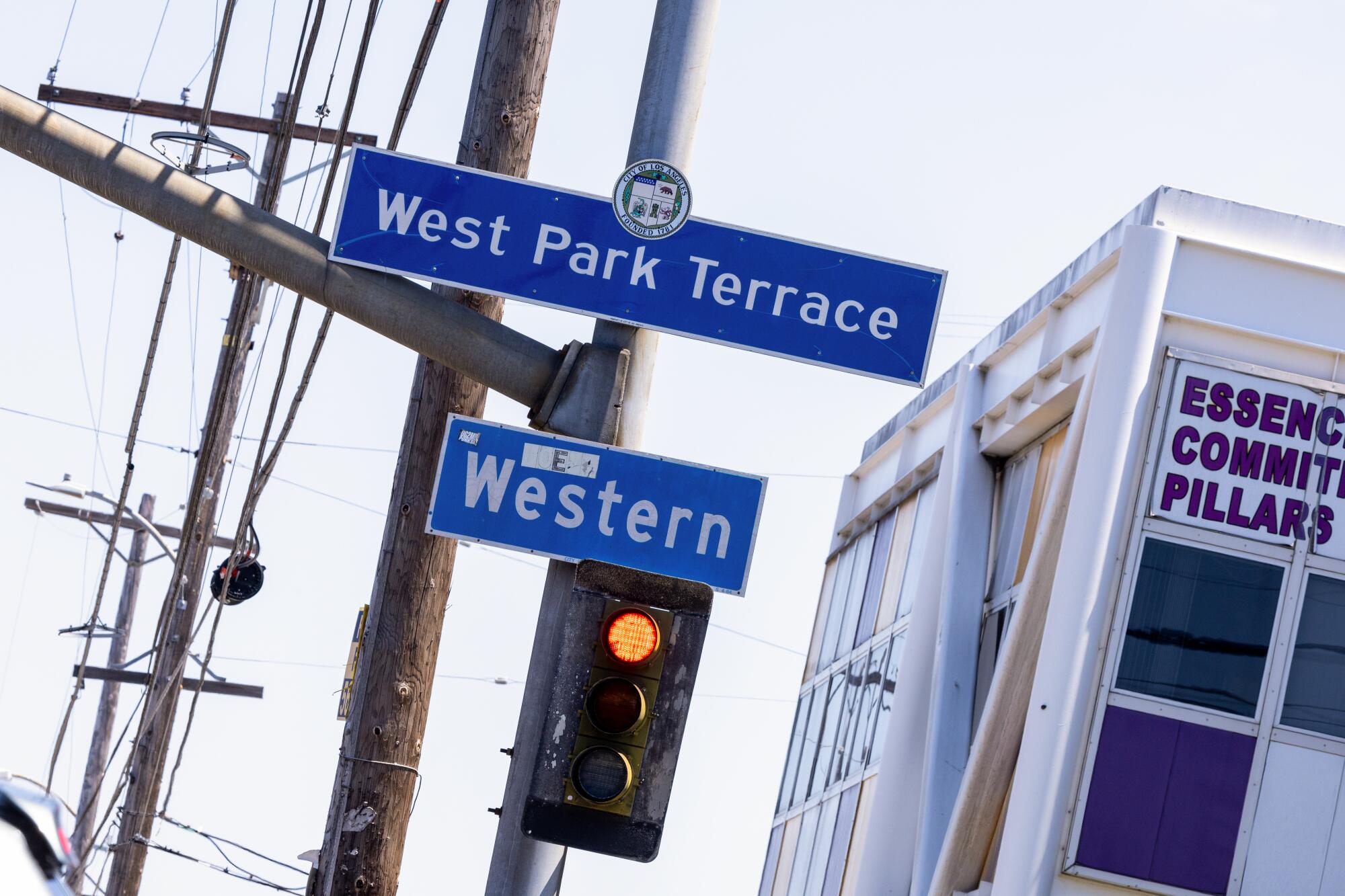
A sign in West Park Terrace along Western Avenue.
(Brian van der Brug / Los Angeles Times)
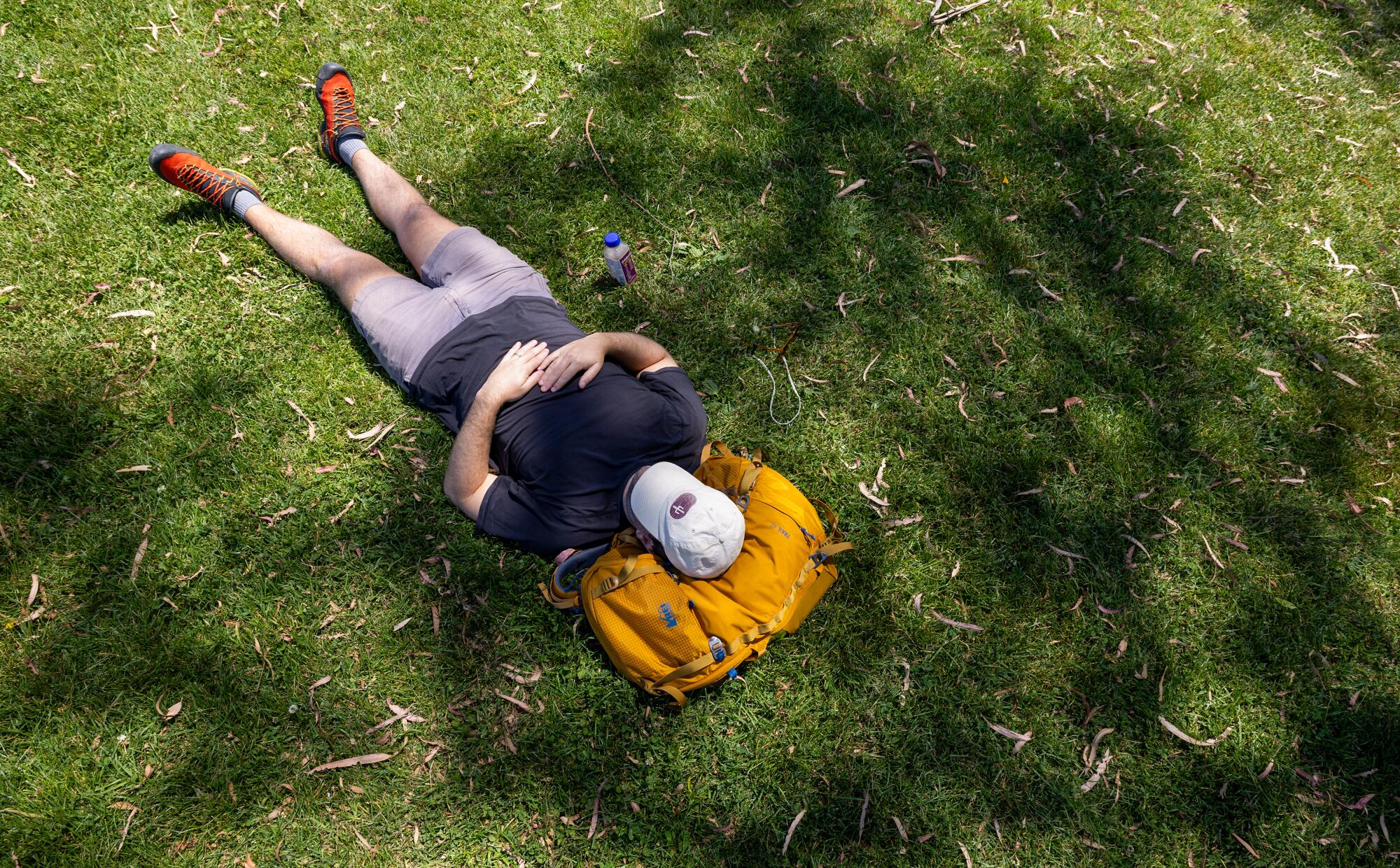
Jasper Donovan takes a rest on the grass at Jesse Owens Park during a walking break.
Western may never have officially marked Los Angeles’ western boundary. But it’s clear it was named to denote the then-edges of what became a vastly larger metropolis. It has retained its significance. For more than a century, Western has connected our city to itself, often literally, as in the so-called Shoestring Strip of 1906 that extended Los Angeles proper to the port.
On this Sunday, Western connected us to our city and to each other. We laughed about ridiculous restaurant names and marveled over the variety of our group’s choices in snacks, both packed and procured from the street’s myriad markets. Near the end, we split a red bell pepper like you might a caramel apple.
We lamented the lack of trees in areas long neglected by city officials. We took note of places to visit at a later date, and probably by another means of transportation. And we started thinking about where we’re going next year. Atlantic, anyone?
