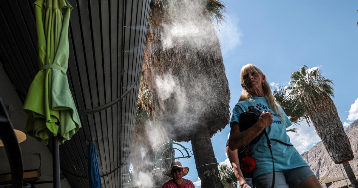
Following a slight dip in temperatures Thursday, Southern California’s ongoing heat wave is expected to rebound with a fury Friday, but relief is in sight for the weekend.
After Wednesday brought record-breaking, triple-digit temperatures to parts of Southern California, Thursday was “a touch cooler” because of an increase in cloud cover, said Ryan Kittell, a meteorologist with the National Weather Service in Oxnard.
Forecasters are now expecting temperatures to climb back up Friday as cloud cover dissipates, he said. The weather service warns that there is a high risk for heat illness across the Southland on Friday, with temperatures expected to hit the triple digits in many areas of L.A. County.
Forecasters are predicting top temperatures of 111 degrees in Canoga Park, 107 degrees in Santa Clarita and 100 degrees in downtown L.A.
Then, the Southland can expect a gradual cooling-off period over the weekend.
“A steady cooling trend will begin no later than Saturday and continue through Monday with high temperatures decreasing by about 5 degrees each day,” according to the weather service. “By early next week, highs should be very close to normal and even possibly a few degrees below normal.”
More mugginess may be on the horizon, forecasters warned, though it’ll likely be more bearable, with temperatures returning to normal early-September levels. By the middle of next week, another tropical system moving westward from Mexico could bring “additional moisture and shower chances locally,” the weather service said.
Earlier, the weather service forecast potential showers and thunderstorms for Thursday and Friday. By Thursday afternoon, showers were “rapidly forming” over parts of Los Angeles County, with “continued activity” over San Luis Obispo County, the weather service said on social media, warning that rain amounts were light but “enough to make roads slippery.”
The thunderstorm potential was driven by moisture from the remnants of Tropical Storm Iselle, Carol Ciliberti, a meteorologist with the National Weather Service in Oxnard, said Wednesday. That moisture was being pulled northward by an upper-level trough, a low-pressure area in the atmosphere. Such an instability can produce thunderstorms and showers.
Amid this week’s heat wave, thousands of Southland residents were sporadically without power as outages popped up in different communities.
Power outages affected up to 3,000 residents in Echo Park and Westlake on Wednesday, according to the Eastsider. Los Angeles Department of Water and Power spokesperson Sandra Robles would not confirm that number but said Wednesday evening that about 800 customers in those neighborhoods remained without power. As of Thursday afternoon, the utility’s power outage map showed that about 60 Echo Park customers remained without power.
The cause of the outages is under investigation, and it was not immediately clear whether the heat wave played a role, Robles said Wednesday night.
Residents in Moreno Valley were left sweltering without power during outages on Tuesday amid triple-digit temperatures. A scheduled outage for maintenance in Huntington Park amid extreme heat also prompted frustration among neighbors Tuesday.
Wednesday brought record-shattering temperatures across the Southland.
Woodland Hills hit 111 degrees, breaking the record of 109 set in 1981, according to the weather service’s preliminary records. Temperatures reached 107 in Lancaster, beating a record of 106 in 1950. The Camarillo Airport recorded a high of 90 degrees, breaking the record of 86 set in 2015, and the National Weather Service’s Oxnard station reached 92 degrees, breaking the record of 86 set in 2015.
Paso Robles tied its 2017 record of 106 degrees. Downtown Los Angeles reached 98 degrees, tying a record set in 1981, and Santa Barbara Airport reached 86 degrees, tying a record set in 1977.
Coastal areas typically are spared the worst of heat waves, thanks to the cool marine layer and ocean. But that hasn’t been the case this summer. El Niño, the warm phase of a climate pattern, has contributed to warmer coastal waters, and combined with intense inland heat, that has led to warmer coastal temperatures, according to Ciliberti.
Times staff writer Alex Wigglesworth contributed to this report.